


Skerry
What the water's doing today — in a sentence, not a spreadsheet.
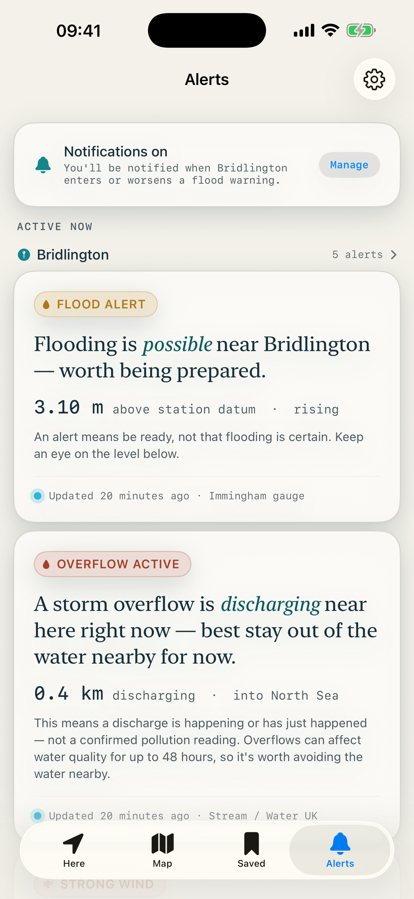
Skerry reads England's live flood, river, sea and water-quality data and tells you, in plain English, what it means for a place you care about. Instead of a wall of gauge readings, it gives you one readable sentence per concern — with the raw figures underneath. Free, no ads, no accounts.
Skerry is a guide, not navigation or safety-of-life equipment. Conditions can change fast — never rely on it where your safety depends on it.
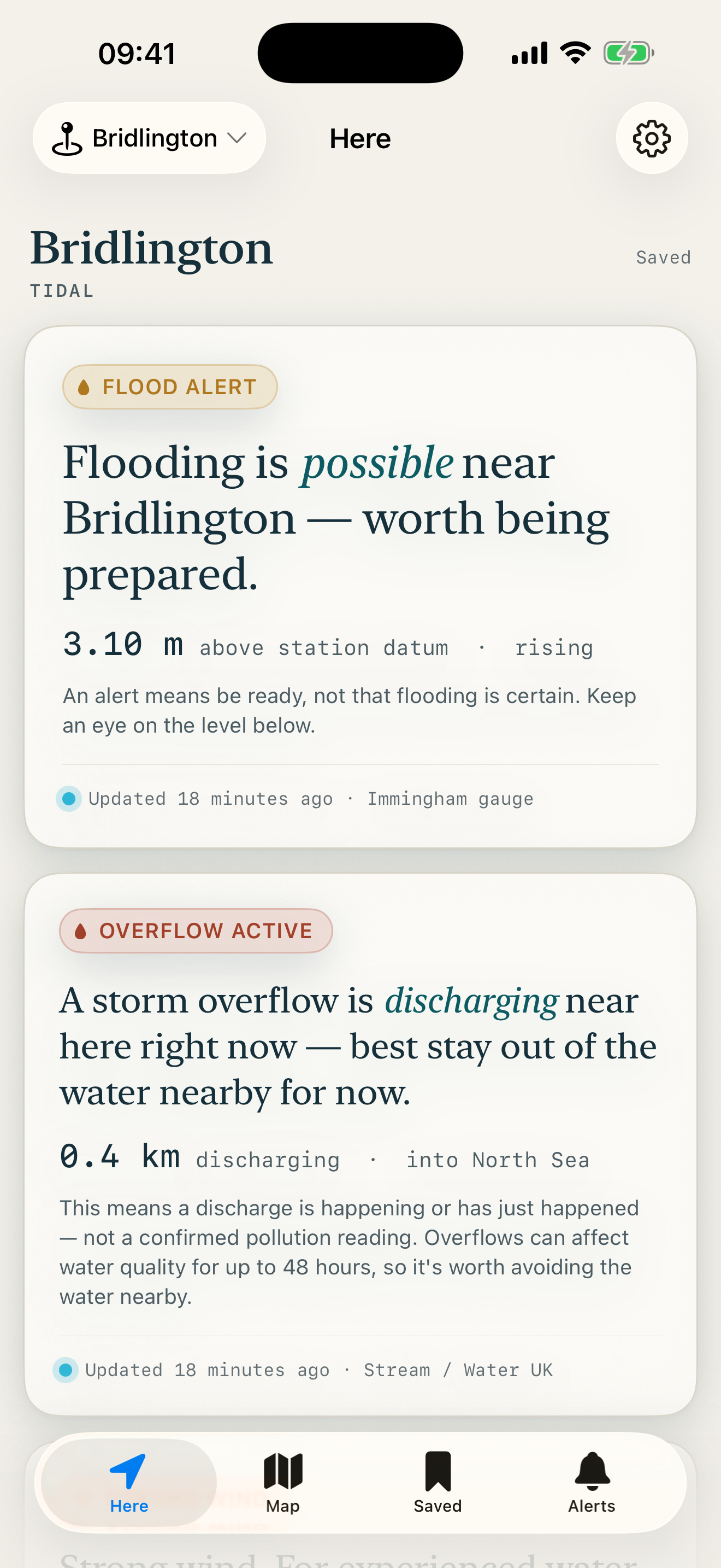
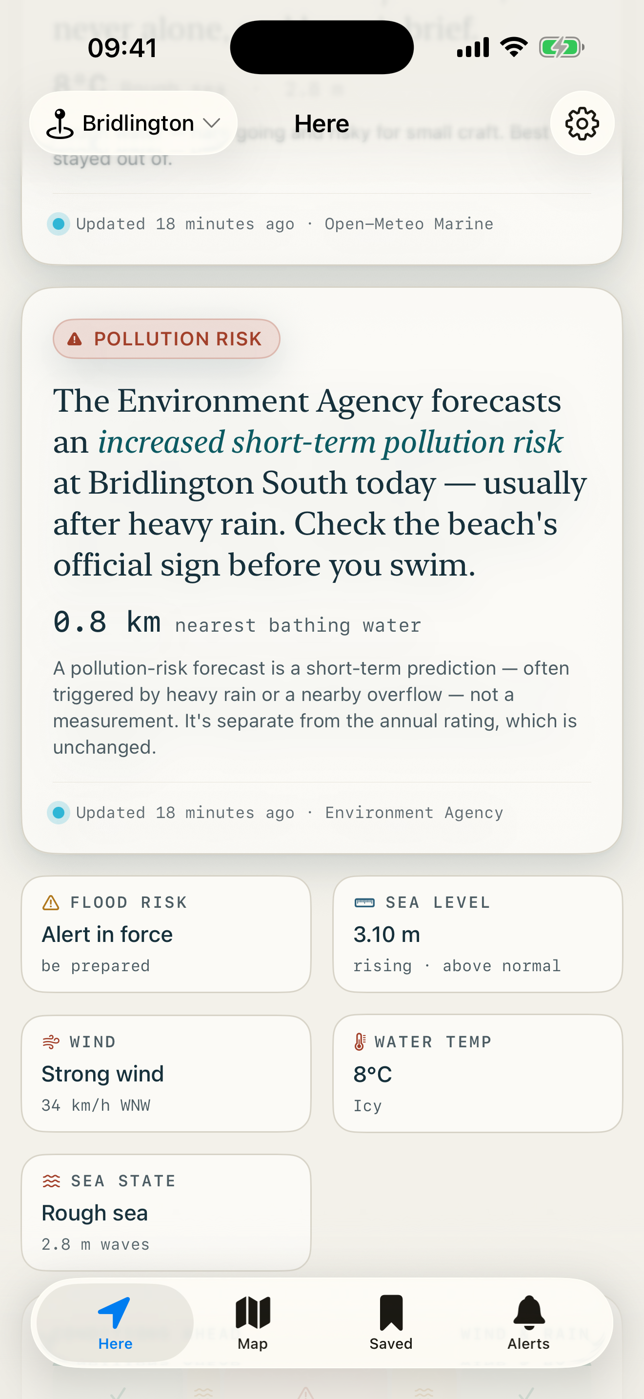
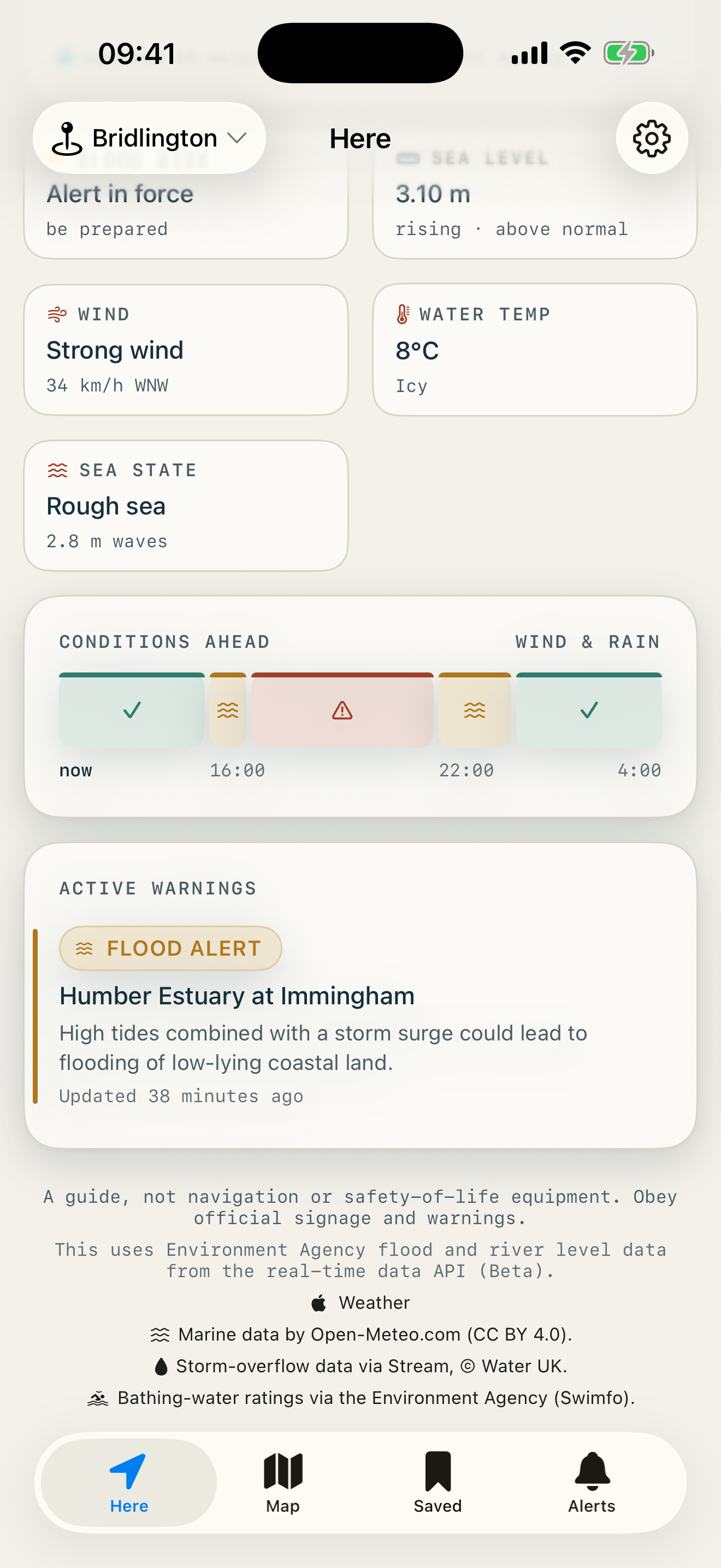
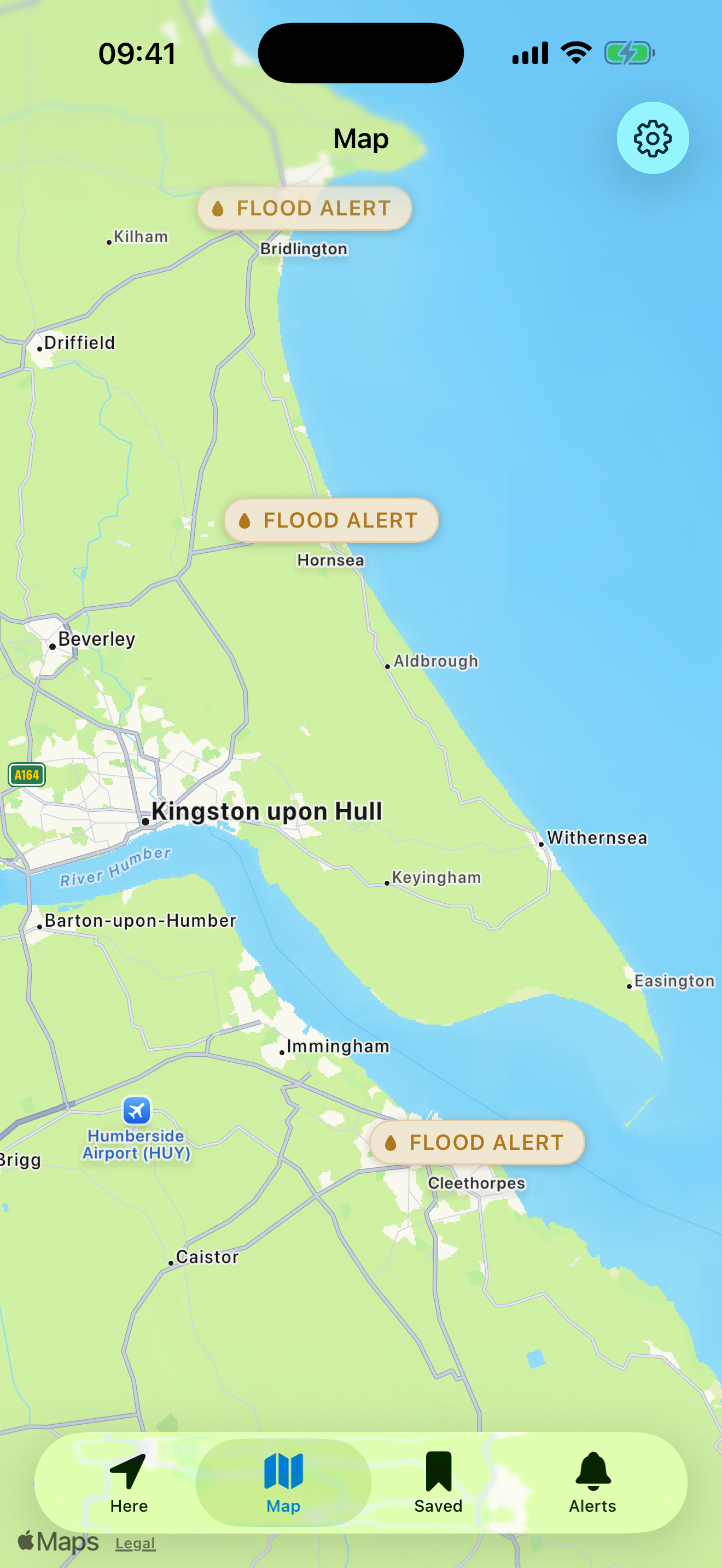
Coverage
Flood alerts, river level, sea level and bathing-water data cover England only — that is the Environment Agency's remit. Storm-overflow status covers the nine English water companies. Weather and sea state work anywhere. Wales and Scotland aren't covered yet.
Data sources
- This uses Environment Agency flood and river level data from the real-time data API (Beta).
- Weather data provided by Apple Weather.
- Marine data by Open-Meteo.com (CC BY 4.0).
- Storm-overflow data via Stream, © Water UK.
- Bathing-water ratings via the Environment Agency (Swimfo).